

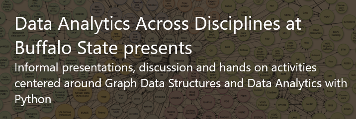
Data Analytics with Python presentations
Location
SAMC 259
Start Date
2-12-2017 2:30 PM
End Date
2-12-2017 3:30 PM
Description
Presentation details:
- Deep learning with Tensorflow for identifying agricultural crops in street-level imagery presented by Dr. John Ringland
- Geospatial programming with python: practices and pitfalls presented by Dr. Wende Mix. An overview of SUNY Buffalo State’s course GEG 584: Geospatial Programming is provided. Similarities and differences between geospatial python applications and typical html and JavaScript based web mapping applications are presented. Common pitfalls associated with using geospatial data are reviewed. A hands-on session geospatial python programming session is offered.
COinS
Dec 2nd, 2:30 PM
Dec 2nd, 3:30 PM
Data Analytics with Python presentations
SAMC 259
Presentation details:
- Deep learning with Tensorflow for identifying agricultural crops in street-level imagery presented by Dr. John Ringland
- Geospatial programming with python: practices and pitfalls presented by Dr. Wende Mix. An overview of SUNY Buffalo State’s course GEG 584: Geospatial Programming is provided. Similarities and differences between geospatial python applications and typical html and JavaScript based web mapping applications are presented. Common pitfalls associated with using geospatial data are reviewed. A hands-on session geospatial python programming session is offered.
Archival Statement
This material is part of a digital archival collection. This item was created or digitized prior to April 24, 2026, or is a reproduction of physical media created before that date. It is preserved specifically for research, reference, or historical recordkeeping. In accordance with the ADA Title II regulations, Butler Library provides accessible versions of archival materials upon request for affiliated faculty, staff, and students. To request an accommodation for this item, please submit a remediation request form.